
_project
// project
Rubezhi
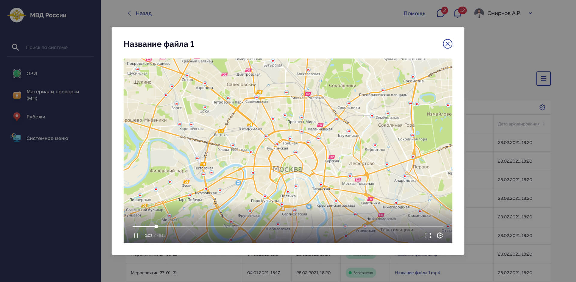
Government GIS platform for coordinating police units during public events, with interactive Moscow maps, patrol deployment, route planning, real-time notifications, and movement history playback.
ReactTypeScript
01
what I did
- → Developed the frontend using React and TypeScript.
- → Developed an interactive map-based interface for managing police units during public events.
- → Implemented functionality for deploying and assigning patrol units to specific locations on the map.
- → Implemented patrol route planning and visualization on the map.
- → Developed interactive tools for displaying planned and actual patrol routes.
- → Implemented recording and visualization of patrol movement history.
- → Developed a route playback system with timeline controls and playback speed adjustment.
- → Implemented animated movement of patrol markers along recorded routes.
- → Developed map controls for navigating and interacting with patrol movement history.
- → Implemented synchronization between the map, route timeline, and selected patrol unit.
- → Developed interfaces for viewing patrol information, assignments, and operational status.
- → Implemented real-time notifications for patrol units when new assignments were created.
- → Integrated the frontend with backend APIs and real-time data.
- → Optimized rendering and interaction with large amounts of geospatial data.
- → Created reusable React components for maps, routes, markers, controls, and operational interfaces.